 |  |
|
||||||||||||||||||||||||||||||||||||||||||||||||||||||||||||||||||||||||||||||||||||||||||||||||||||||||||||||||||||||||||||||||||||||||||||||||||||||||||||||||||||||||||||||||||||||||||||||||||||||||||||||||||||||||||||||||||||||||||||||||||||||||||||||||||||||||||||||||||||||||||||||||||||||||||||||||||||||||||||||||||||||||||||||||||||||||||||||||||||||||||||||||||||||||||||||||||||||||||||||||||||||||||||
|

–
|
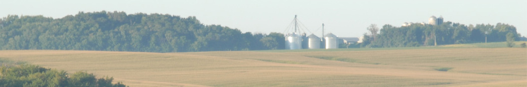
| Big Severe Weather Event for Midwest Wednesday |
Three active weather systems; severe outbreak Wednesday threatens tornadoes, damaging winds, and large hail Midwest. » More DTN Weather Commentary |
| Posted at 12:00PM Tue Jun 16, 2026 CDT |
Click here to get your local weather emailed to you each day.